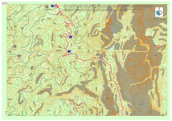
Sarıçınar – Hisarçandır
The part of the Lycian road here rises from within the valley in the National Park of Göynük Canyon to the north and turns towards the peak of Sarıçınar Mountain through the end of the valley The road becomes stabilized at the skirts of the mountain and after going through a highland settlement with a few residences, reaches the settlement of Hisarçandır, the official beginning point of the Lycian road.
It should be noted that the Lycian Road continues until the archaeological settlement of Trebenna, which is located near the Çağlarca village in Geyikbayırı, Konyaaltı district, Antalya province and is known to be the last city on the eastern side of the Lycian country. After the marking of ancient road remains which start from the settlement of Hisarçandır, goes through the archaeological settlement of Typella and the skirts of Sivridağ, and reaches the archaeological settlement of Trebenna is completed, the official starting point will become the Akdamlar village, which is nearby, and the maps will be updated in accordance with this.
Sarıçınar – Hisarçandır Map Section 31